For now in matter of GIS I am at the beginning but with the numerous resources over the internet I hope to achieve at least an acceptable level of quality.
The tools I use in present are: ArcMap, AutoCAD, QGIS, MapMaker, Global Mapper etc.
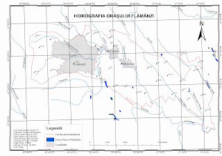
Some of my work done for a town in my country:
 |
| Flamanzi - Hydrographic Map |
 |
| Flamanzi - Network of settlements and communication routes map |
 |
| Flamanzi - Hypsometric Map |
No comments:
Post a Comment